
EXPLORE THE GROUNDS · VIRTUAL TOUR BETA
Heights, in three dimensions.
Explore the connected buildings and open gathering spaces. Plan-based footprints; illustrative heights and roofs.
Loading the 3D grounds…
Find a landmark
Select a landmark to view its position and source photograph.
Photographs & visitor map →How to explore · model accuracy
Orbit: drag, scroll or use arrow keys. Walk: click the scene, then W/A/S/D or arrow keys; drag to look. On a phone, use the direction buttons and drag the view. Escape releases the controls. Reset returns to the overview.
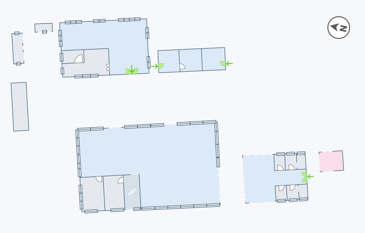
The building footprints come from the supplied floor plan. The hall, open dining area and office form one continuously covered complex. The broad metal canopy stays within the hall’s length. Height, roof pitch, columns and ground level are visual approximations.
This is fictional virtual exploration, not GPS navigation or an evacuation route. Door positions, accessible routes, terrain elevations and the trail are unverified. Gate and bell positions are left unplaced because they are not registered to the plan.
Download reusable 3D scene data · Evidence & spatial constraints · Source floor plan PDF